Weather Service says Holiday Weekend Ends Cool and Stormy
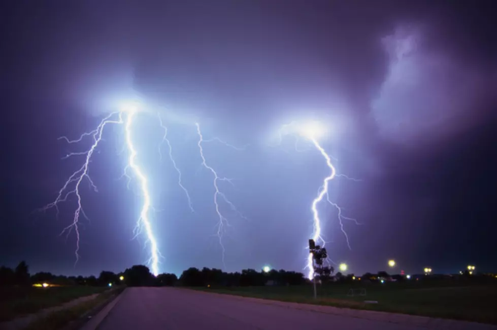
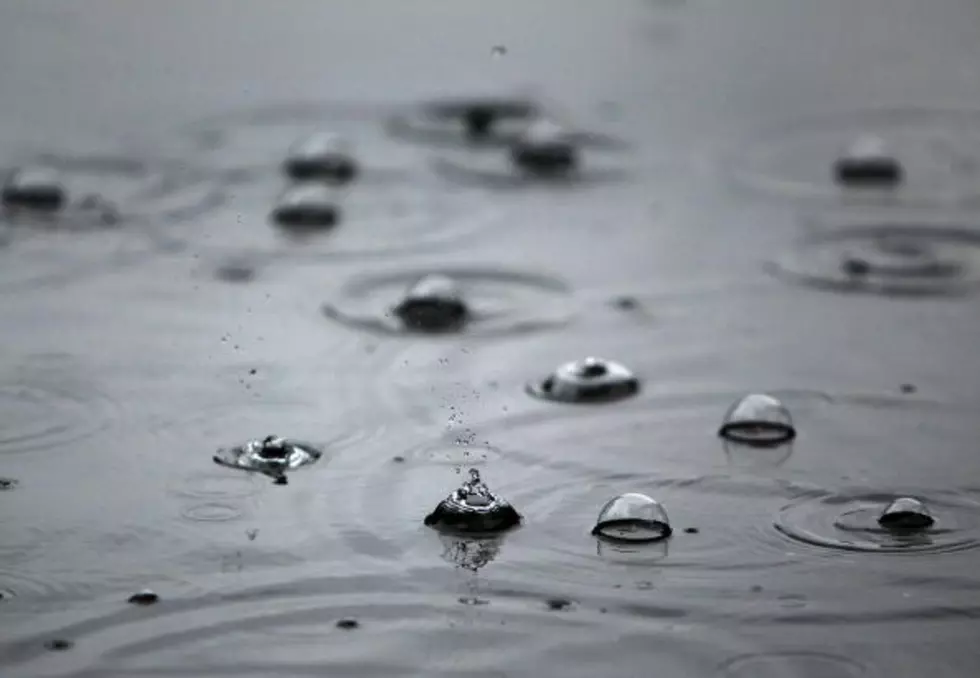
With the exception of the 4th of July itself, the holiday weekend was dominated with cooler weather and thunderstorm activity throughout western Montana.
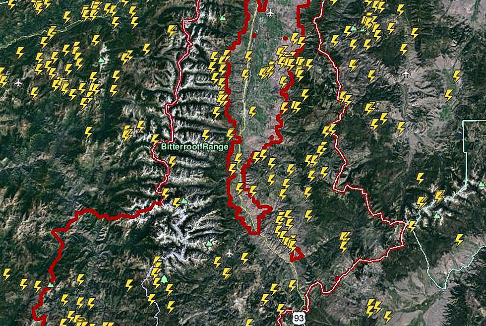
Meteorologist Jeff Kitzmiller said on Sunday that a series of low pressure systems rolled through the area bringing cooler temperatures and intermittent rain or thunderstorms.
“We have low pressure to our west and it just keeps sending all these little waves of moisture and it’s just the set up for a series of thunderstorms and Saturday was a good example,” said Kitzmiller. “The thunderstorms covered pretty much all of western Montana, so most people had thunder most of the day. The gauges weren’t really showing that much rain, many with a tenth of an inch and some areas had a third of an inch, and there was some hail in the Bitterroot valley with quarter-sized hail, otherwise most people said they were just getting rain and lightning.”
The natural question is how many fires were started by the frequent lightning strikes.
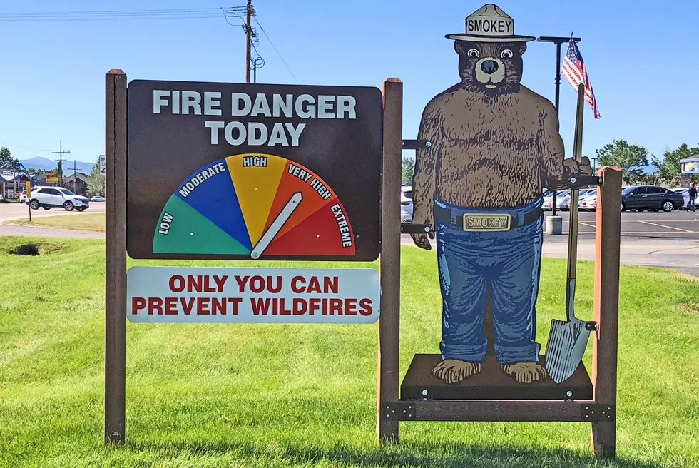
“There have been some small fires reported,” he said. “They are small and they seem to have been manageable by small crews who went out there and put them out.”
Kitzmiller said the forecast for western Montana will be warmer, with highs into the mid to upper 80’s for the upcoming week, but the area will avoid the extreme heat and dry conditions that spell high fire danger for now.
More From 96.9 Zoo FM