
Passes Will Be Awful For Griz/Cat Game
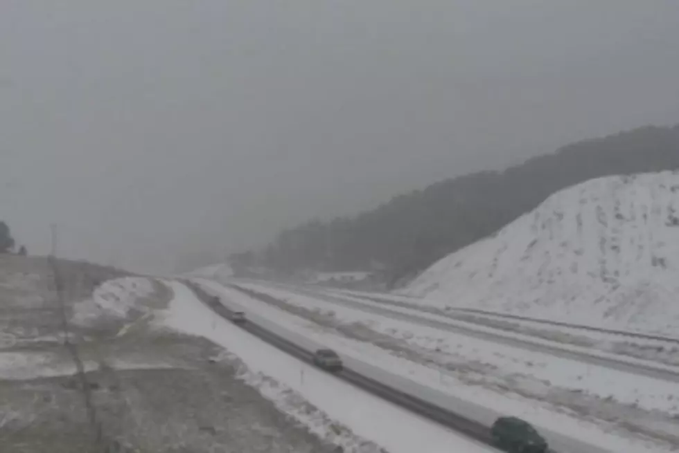
Cat/Griz weekend just got a lot more interesting. With “friends” and family coming into town for the game, keep your eyes on the weather forecast here! Winter Storm Watch taking effect on Thursday.

Winter Storm Watch for elevations above 5500 feet remains in effect from late Thursday night through Saturday morning for most of the mountain areas of southwest Montana… as well as the snowy mountains in southern Fergus County in central Montana.
* Timing and main impact: an Arctic cold front will bring sharply colder temperatures and heavy mountain snow beginning late
Thursday night and continuing through Saturday morning. Heaviest snow accumulations are expected in the mountains above 5500 feet.
* Snow accumulations: snow accumulations of 10 to 16 inches are
possible above 5500 Thursday night through Saturday
morning… while 3 to 5 inches are possible below 5500 feet.
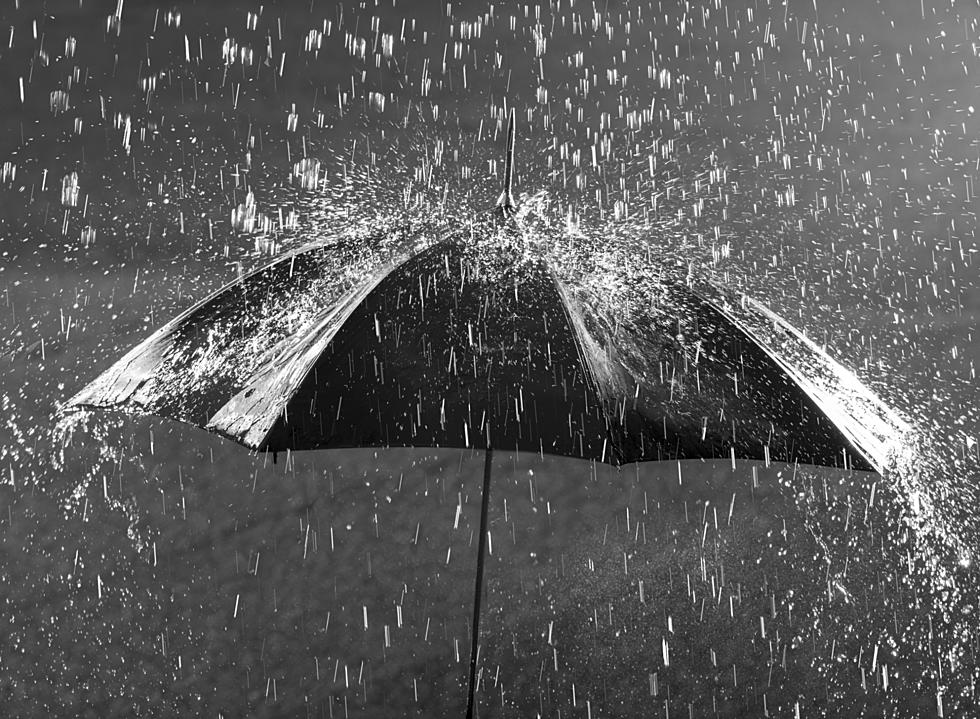
* Visibility: heavy snow will reduce visibilities to less than
one half mile at times.
* Other impacts: hazardous driving conditions are possible…
especially through canyons and mountain passes. Travelers
and those planning outdoor activities should be prepared for
rapidly changing and treacherous winter conditions.
* Locations affected include: Battle Ridge Pass… Bozeman
Pass… Targhee Pass… West Yellowstone… Raynolds Pass.
Precautionary/preparedness actions…
A Winter Storm Watch means there is a potential for significant
snow… sleet… or ice accumulations that may impact travel.
Continue to monitor the latest forecasts.
More From 96.9 Zoo FM