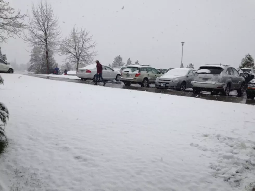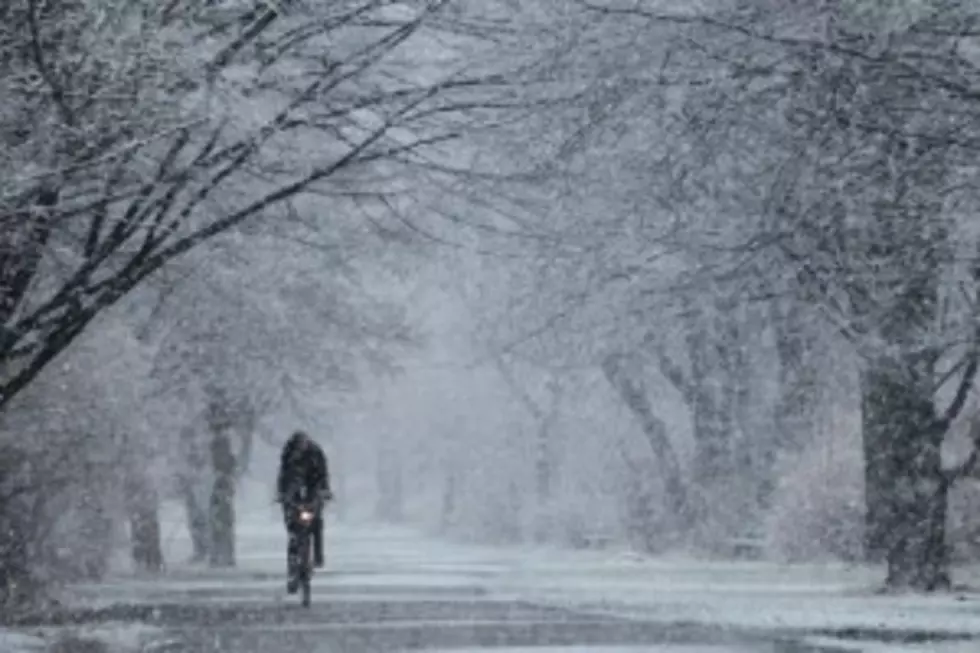
2017 Will Roar In With More Snow – Extreme Extended Cold Snap – 20 to 25 Below Zero Possible
The National Weather Service is warning that winter is just getting 'warmed up' in western Montana.
Meteorologist Bob Nestor said up to to five more inches of snow are expected on New Year's Day, and following that, a bitter cold front will descend on the area bringing extremely cold temperatures that could hang around for quite some time.
"A deep area of arctic air will sweep down across Siberia through Canada and impact our area late Sunday into Monday," Nestor said. "Strong northeasterly winds will first affect northwest Montana around Kalispell and the Glacier Park area. These east winds will affect more than just the Hellgate Canyon, but will blow through all of western Montana bringing wind chills to 10 to 15 below zero."
Nestor said the bitter cold will move into the area starting on Tuesday.
"This extremely cold front will plant itself in our region and will last through much of the week," he said. "To put it in perspective, in 2014, we had lows of 25 below zero, but it only lasted for one night. This arctic air is anticipated to stick around through much of the week, and here in Missoula, we're looking at lows at least from 10 to 15 degrees below zero, but it's not out of the question to have temperatures on Tuesday or Wednesday morning of 20 to 25 below zero."
Nestor said other areas that regularly experience colder weather could dip down from 30 to even 40 below zero, areas such as Potomac, Seeley Lake, Ovando, Wisdom, and Butte.
He said high temperatures during this period will struggle to reach zero, and that care should be taken to keep pipes from freezing and to protect pets and livestock from the extended period of extreme cold next week.
More From 96.9 Zoo FM